Plaetje:Cambridge UK locator map.svg

Afmetingen van deze voorvertoning van het type PNG van dit SVG-bestand: 533 × 600 pixels Andere resoluties: 213 × 240 pixels | 426 × 480 pixels | 682 × 768 pixels | 910 × 1.024 pixels | 1.820 × 2.048 pixels | 1.125 × 1.266 pixels.
Volledige resolutie (SVG-bestand, nominaal 1.125 × 1.266 pixels, bestandshroôtte: 894 kB)
| Beschrijving |
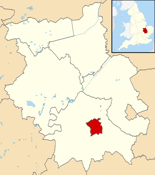
Map of Cambridgeshire, UK with Cambridge highlighted. Equirectangular map projection on WGS 84 datum, with N/S stretched 160% |
| Datum | |
| Bron |
|
| Auteur | Nilfanion, created using Ordnance Survey data |
| Toestemming (Hergebruik van dit bestand) |
Dit bestand is gelicenseerd onder de Creative Commons-licentie Naamsvermelding-Gelijk delen 3.0 Unported Naamsvermelding: Contains Ordnance Survey data © Crown copyright and database right
|
Bestandsgeschiedenisse
Klik op 'n datum/tied om 't bestand te zien zoas 't van d'r tied woas.
| Datum/tied | Miniatuur | Ofmetiengen | Gebruker | Opmerkienge | |
|---|---|---|---|---|---|
| hudige versie | 3 oes 2011 23:22 | | 1.125 × 1.266 (894 kB) | Nilfanion | {{Information |Description=Map of Cambridgeshire, UK with Cambridge highlighted. Equirectangular map projection on WGS 84 datum, with N/S stretched 160% |Source=Ordnance Survey [https://www.ordna |
Bestandsgebruuk
Dit bestand òdt op de volgende pagina gebruukt:
Globaal bestandsgebruik
De volgende andere wiki's gebruiken dit bestand:
- Gebruikt op azb.wikipedia.org
- Gebruikt op bn.wikipedia.org
- Gebruikt op cy.wikipedia.org
- Gebruikt op en.wikipedia.org
- Gebruikt op en.wikinews.org
- Gebruikt op fi.wikipedia.org
- Gebruikt op frr.wikipedia.org
- Gebruikt op fr.wikipedia.org
- Gebruikt op fy.wikipedia.org
- Gebruikt op he.wikipedia.org
- Gebruikt op incubator.wikimedia.org
- Gebruikt op io.wikipedia.org
- Gebruikt op ja.wikipedia.org
- Gebruikt op lij.wikipedia.org
- Gebruikt op mr.wikipedia.org
- Gebruikt op ms.wikipedia.org
- Gebruikt op no.wikipedia.org
- Gebruikt op pa.wikipedia.org
- Gebruikt op pl.wikivoyage.org
- Gebruikt op pnb.wikipedia.org
- Gebruikt op pt.wikipedia.org
- Gebruikt op simple.wikipedia.org
- Gebruikt op si.wikipedia.org
- Gebruikt op sl.wikipedia.org
- Gebruikt op sv.wikipedia.org
- Gebruikt op ta.wikipedia.org
- Gebruikt op th.wikipedia.org
- Gebruikt op tr.wikipedia.org
- Gebruikt op ur.wikipedia.org
- Gebruikt op www.wikidata.org
- Gebruikt op yi.wikipedia.org